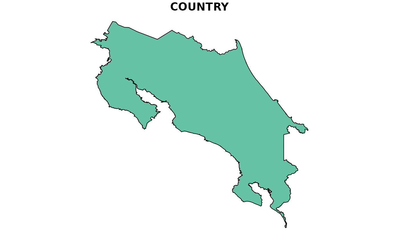
An sf polygon containing the continental outline of Costa Rica,
derived from GADM 4.1. The Isla del Coco and all other minor oceanic
islands have been removed, retaining only the largest polygon
(the continental landmass).
For the full outline including all islands, see cr_outline.
A simplified outline of Costa Rica as an `sf` object.
Format
An sf object with 1 feature and 1 column:
- geometry
POLYGON in WGS 84 (EPSG:4326) with 30,261 vertices, representing the continental outline of Costa Rica.
An `sf` object containing polygon geometry of Costa Rica.
Source
Global Administrative Areas (GADM) version 4.1.
Downloaded via geodata::gadm("CRI", level = 0).
https://gadm.org
Adapted from publicly available geographic data.
Details
## Island removal
Costa Rica includes the Isla del Coco (~550 km offshore in the Pacific),
which is excluded here. The continental polygon is obtained by casting the
GADM multipolygon to individual polygons and retaining the one with the
largest area. For analyses requiring all national territory, use
cr_outline.
## Reproducibility
Generated with data-raw/cr_outline.R. To regenerate:
source("data-raw/cr_outline.R")See also
cr_outline— full outline including all islands.get_cr_outline— programmatic version with options.get_h3_grid— generate H3 hexagonal grid over this AOI.
Examples
data(cr_outline_c)
plot(sf::st_geometry(cr_outline_c), main = "Costa Rica (continental)")


if (FALSE) { # \dontrun{
bio1 <- get_chelsa_historic(var = "bio1", aoi = cr_outline_c)
} # }

library(sf)
plot(cr_outline_c)
if (FALSE) { # \dontrun{
bio1 <- get_chelsa_historic(var = "bio1", aoi = cr_outline_c)
} # }
library(sf)
plot(cr_outline_c)
