The goal of paisaje is to provide tools for spatial and landscape analysis in R. It includes functions for working with landscape metrics, spatial data manipulation, and biodiversity conservation applications.
Installation
You can install the development version of paisaje from GitHub with:
install.packages("devtools")
devtools::install_github("ManuelSpinola/paisaje")
Example
This is a basic example which shows you how to use the package:
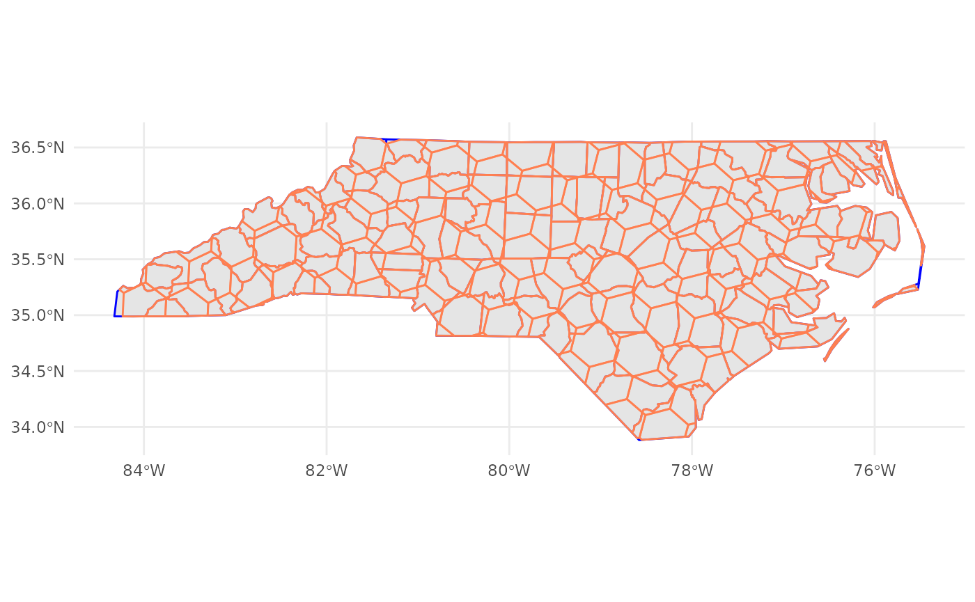
Let’s bring an sf object
nc = st_read(system.file("shape/nc.shp", package="sf"))## Reading layer `nc' from data source
## `/home/runner/work/_temp/Library/sf/shape/nc.shp' using driver `ESRI Shapefile'
## Simple feature collection with 100 features and 14 fields
## Geometry type: MULTIPOLYGON
## Dimension: XY
## Bounding box: xmin: -84.32385 ymin: 33.88199 xmax: -75.45698 ymax: 36.58965
## Geodetic CRS: NAD27Create an h3 grid of resolution 4
h3_grid_nc <- get_h3_grid(nc, resolution = 4)Make a map
ggplot() +
  theme_minimal() +
  geom_sf(data = nc, color = "blue", linewidth = 0.5) +
  geom_sf(data = h3_grid_nc, alpha = 0.4, color = "coral", linewidth = 0.5)